La Coulotte Ridge
La Coulotte Ridge is located on the border of Alberta and British Columbia on the Continental Divide. It was named after La Coulotte in France.[1][2]
| La Coulotte Ridge | |
|---|---|
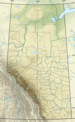 La Coulotte Ridge Location in Alberta and British Columbia | |
| Highest point | |
| Elevation | 2,387 m (7,831 ft)[1] |
| Prominence | 325 m (1,066 ft) |
| Coordinates | 49°11′12″N 114°17′30″W |
| Geography | |
| Location | Alberta British Columbia |
| Parent range | Flathead Range |
| Topo map | NTS 82G1 Sage Creek |
See also
References
- "La Coulotte Ridge". PeakFinder. Retrieved 2010-02-19.
- "La Coulotte Ridge". Bivouac.com. Retrieved 2010-02-19.
This article is issued from Wikipedia. The text is licensed under Creative Commons - Attribution - Sharealike. Additional terms may apply for the media files.