Senanga Airport
Senanga Airport (IATA: SXG, ICAO: FLSN) is a public airport serving the Zambezi River town of Senanga, Western Province, Zambia.
Senanga Airport | |||||||||||
|---|---|---|---|---|---|---|---|---|---|---|---|
| Summary | |||||||||||
| Airport type | Public | ||||||||||
| Serves | Senanga | ||||||||||
| Elevation AMSL | 3,370 ft / 1,027 m | ||||||||||
| Coordinates | 16°06′45″S 23°18′00″E | ||||||||||
| Map | |||||||||||
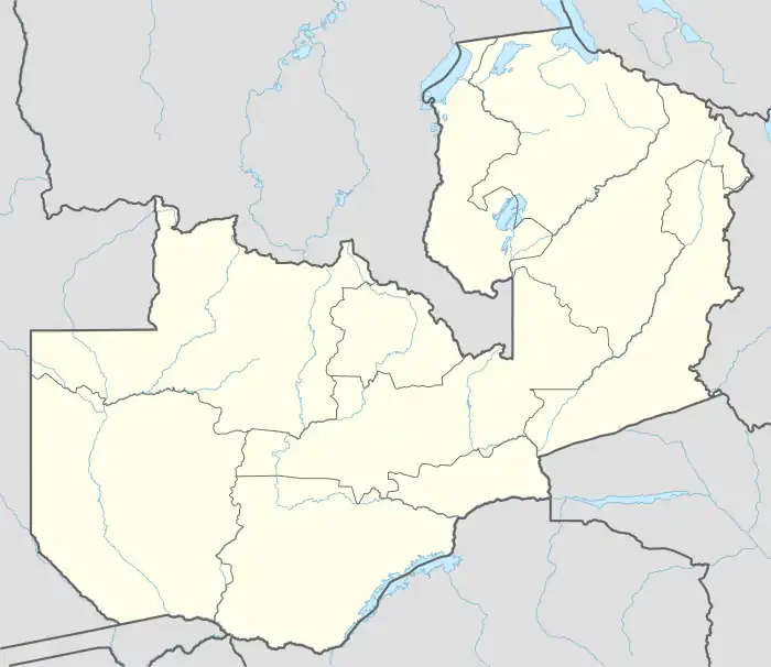 SXG Location of the airport in Zambia | |||||||||||
| Runways | |||||||||||
| |||||||||||
The airport is in the southwest section of the town. West approach and departure cross the river.
References
- Google Maps - Senanga
- Airport information for Senanga Airport at Great Circle Mapper.
External links
- OpenStreetMap - Senanga
- SkyVector - Senanga Airport
- FallingRain - Senanga
- Accident history for Senanga Airport at Aviation Safety Network
- Google Earth
This article is issued from Wikipedia. The text is licensed under Creative Commons - Attribution - Sharealike. Additional terms may apply for the media files.