Přibyslavice (Brno-Country District)
Přibyslavice is a municipality and village in Brno-Country District in the South Moravian Region of the Czech Republic. It has about 500 inhabitants.
Přibyslavice | |
|---|---|
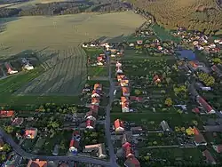 Aerial view | |
.svg.png.webp) Flag .svg.png.webp) Coat of arms | |
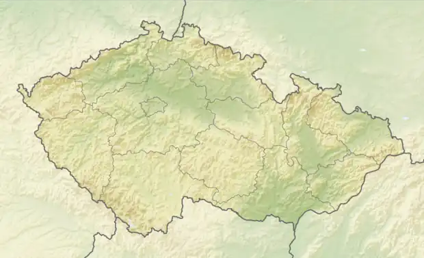 Přibyslavice Location in the Czech Republic | |
| Coordinates: 49°16′43″N 16°15′59″E | |
| Country | |
| Region | South Moravian |
| District | Brno-Country |
| First mentioned | 1175 |
| Area | |
| • Total | 8.52 km2 (3.29 sq mi) |
| Elevation | 497 m (1,631 ft) |
| Population (2023-01-01)[1] | |
| • Total | 525 |
| • Density | 62/km2 (160/sq mi) |
| Time zone | UTC+1 (CET) |
| • Summer (DST) | UTC+2 (CEST) |
| Postal code | 664 83 |
| Website | www |
Přibyslavice lies approximately 27 kilometres (17 mi) west of Brno and 161 km (100 mi) south-east of Prague.
Administrative parts
The village of Radoškov is an administrative part of Přibyslavice.
This article is issued from Wikipedia. The text is licensed under Creative Commons - Attribution - Sharealike. Additional terms may apply for the media files.